Tsunami in a Box
Make a tsunami on any coastline and watch where the water goes.
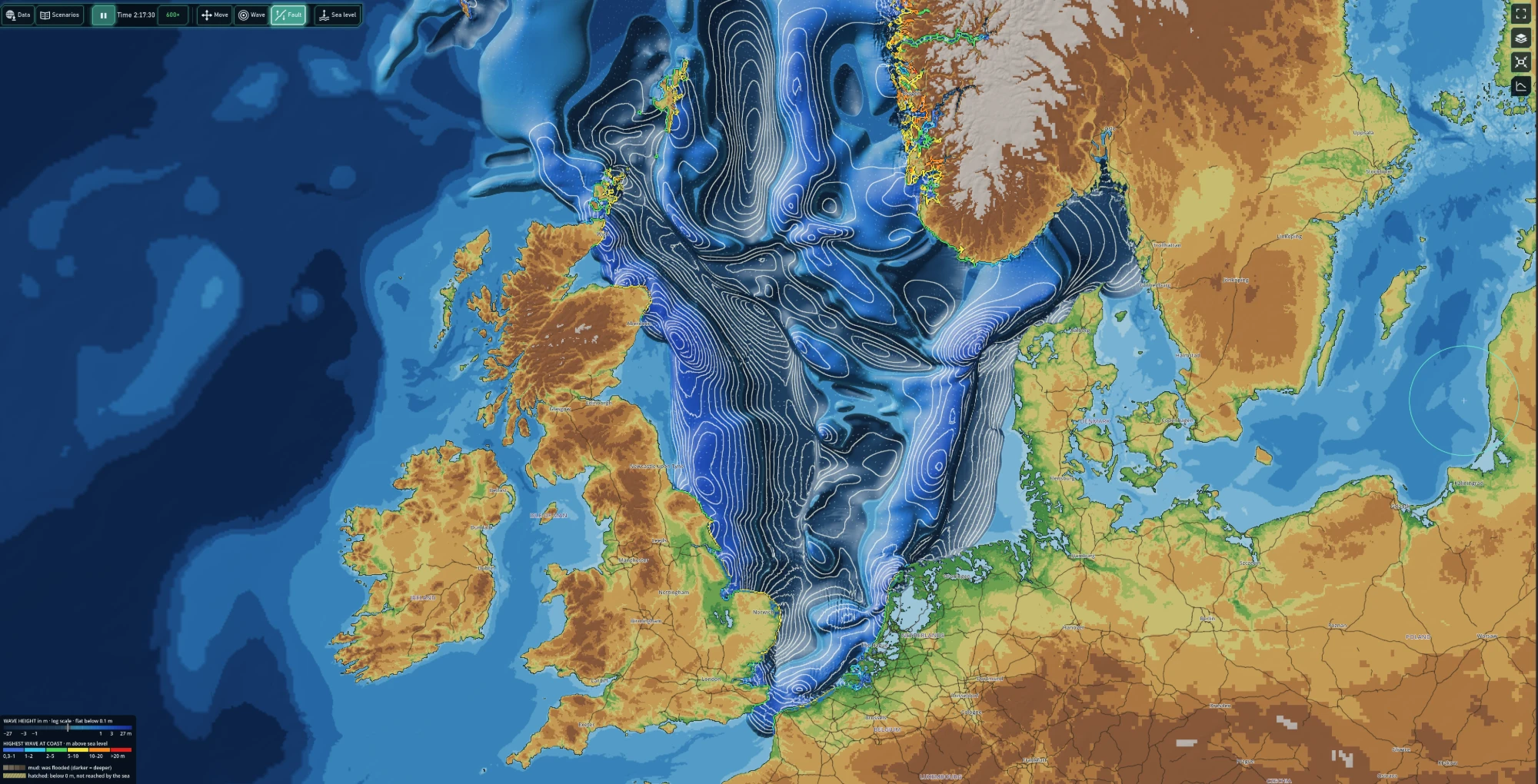
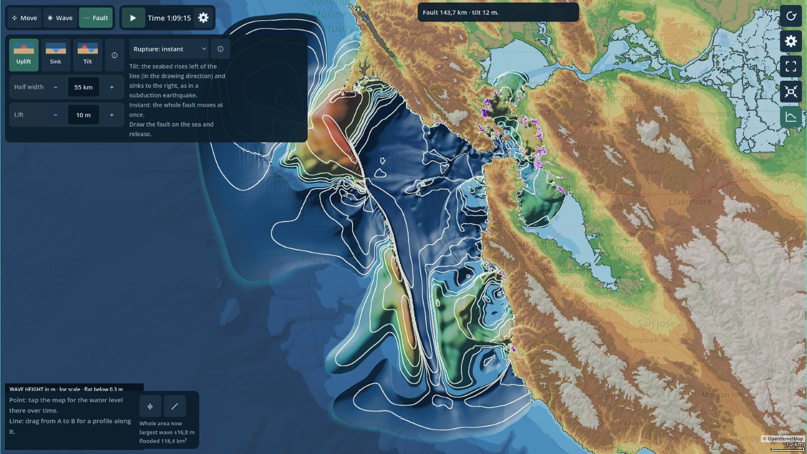
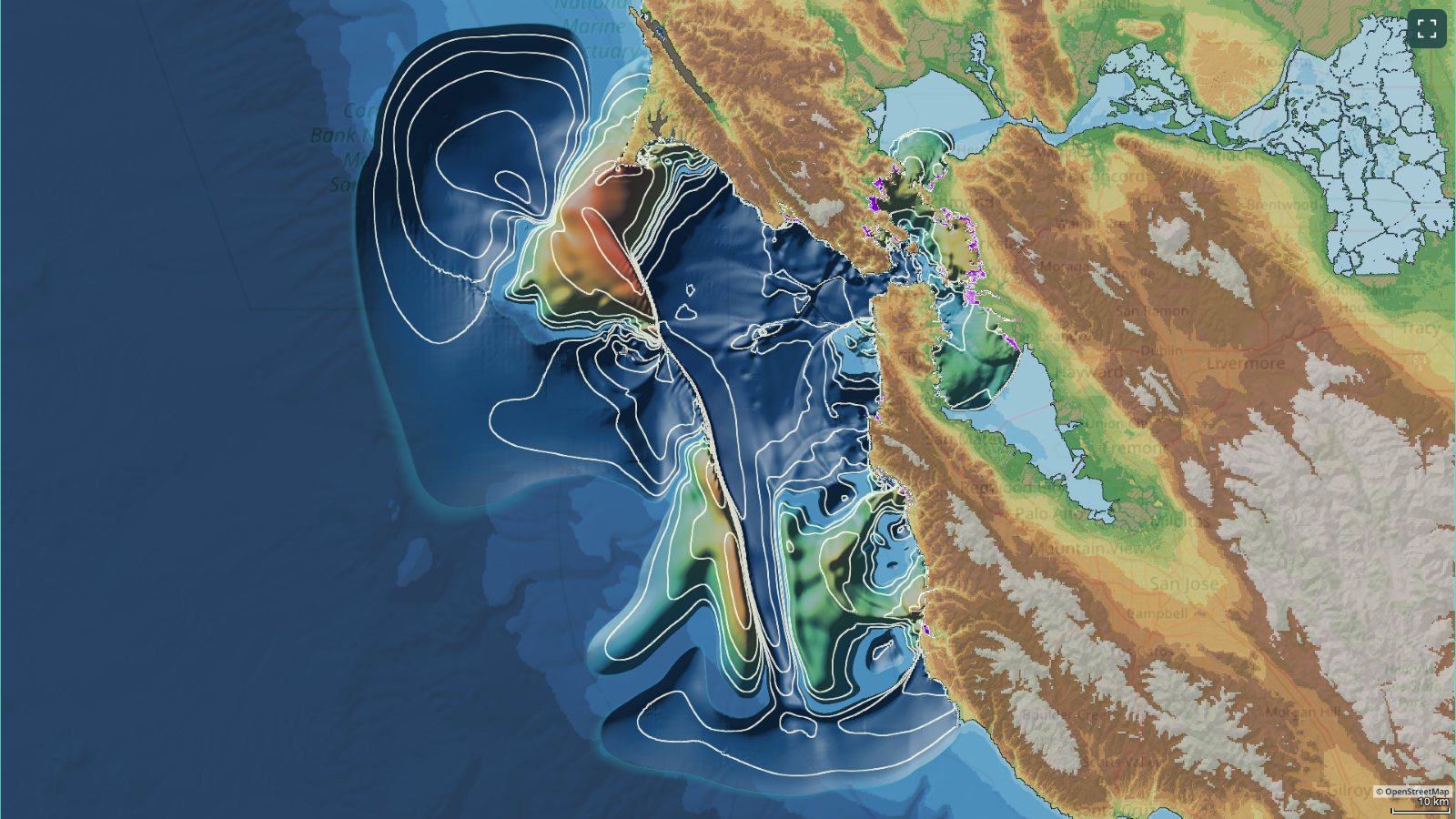
Pick a stretch of coast anywhere on Earth, and the simulation loads real sea floor and terrain heights for it. Start a wave by hand or let a fault in the sea floor lift, sink or tilt, then watch the tsunami spread across the ocean, slow down and steepen over shallow water, and run up onto land.

Screenshots
Click to enlarge
What you can do
Choose any coastline
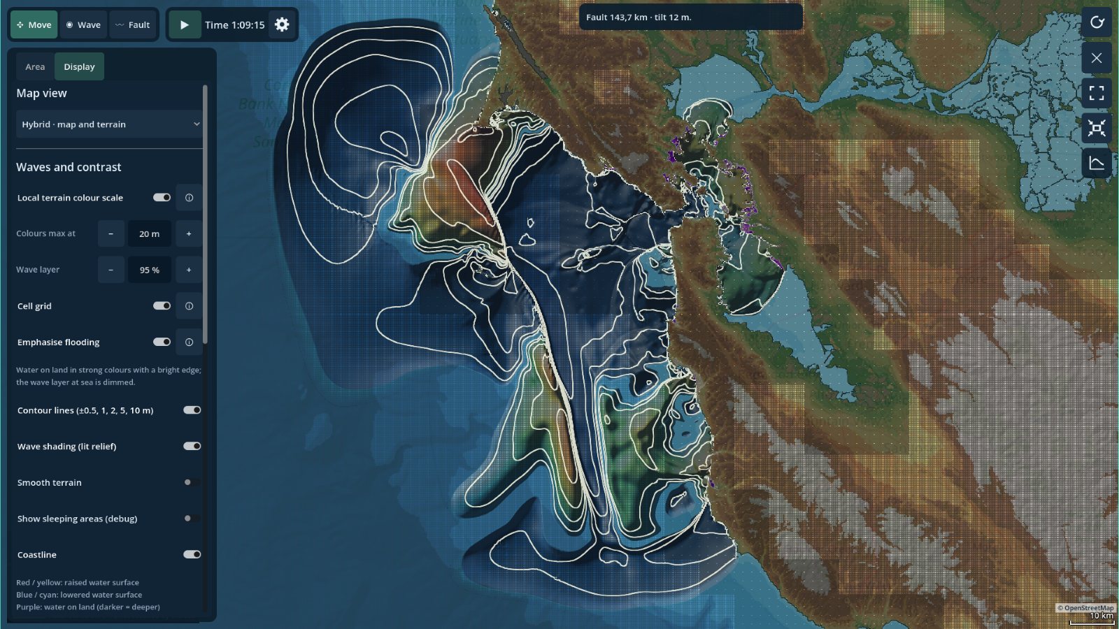
Move the map to the area you want and build a simulation from it, with real sea floor and land heights. Choose a large area with coarser cells, or a smaller one in fine detail. The finest settings go down to 60 m cells along the coast, or as fine as the elevation data allows, for flooding of harbours, beaches and streets.
Start a wave
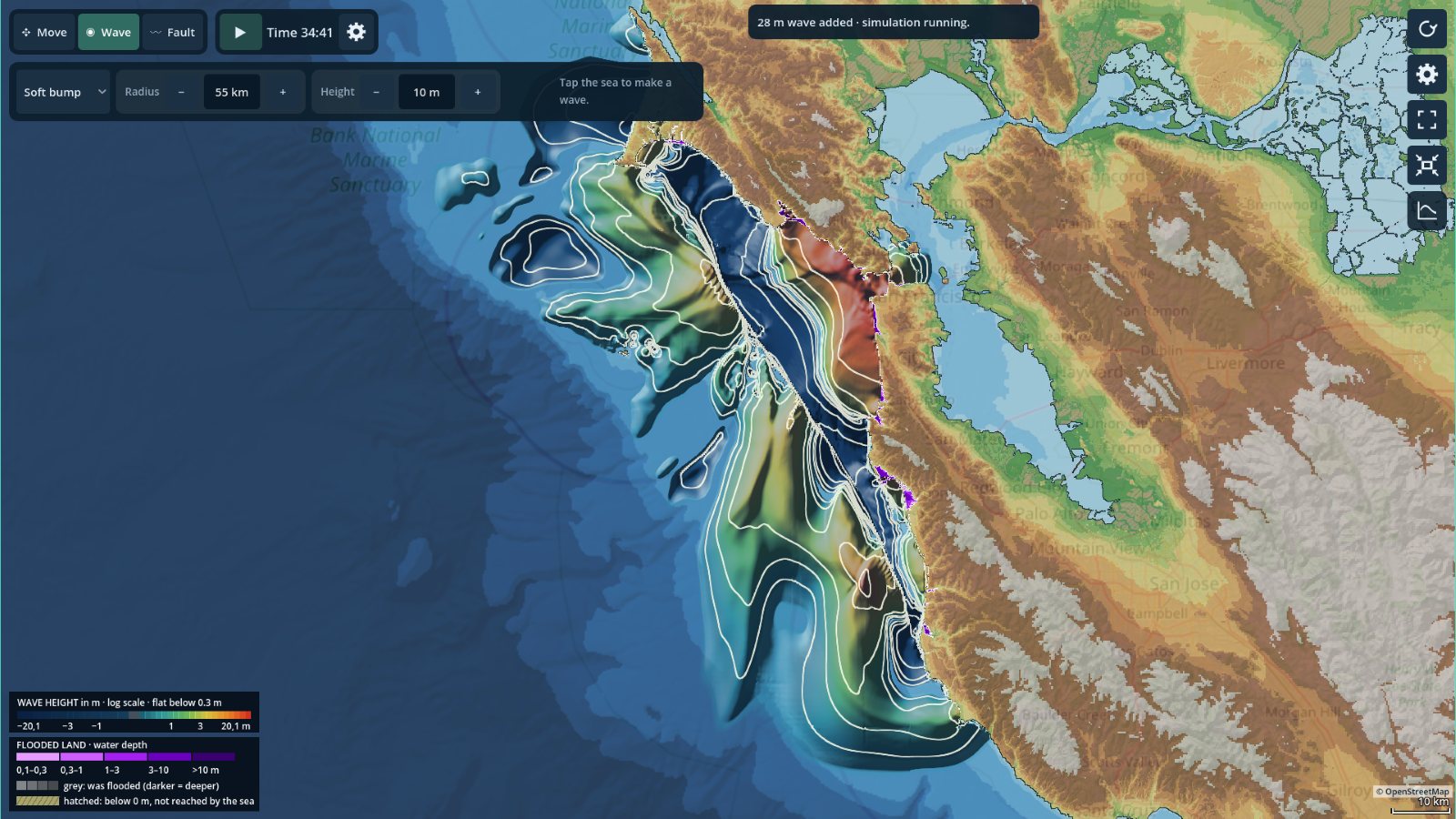
Drop a disturbance into the water with the brush and set its size and height, or lower the sea surface instead. Or draw a fault on the seabed and let it break the way real earthquake tsunamis start: uplift, sinking or a tilt, all at once or rupturing along the line at a chosen speed.
Watch the flooding
Land is not a wall in the simulation. When the water rises above the terrain it runs inland, fills low areas and drains back again. The map marks the highest wave that reached the coast and which areas were flooded.
Raise the sea
Raise or lower the whole sea, at once or gradually, and see which coasts, towns and low land the sea takes, or which seabed falls dry.
Measure what happens
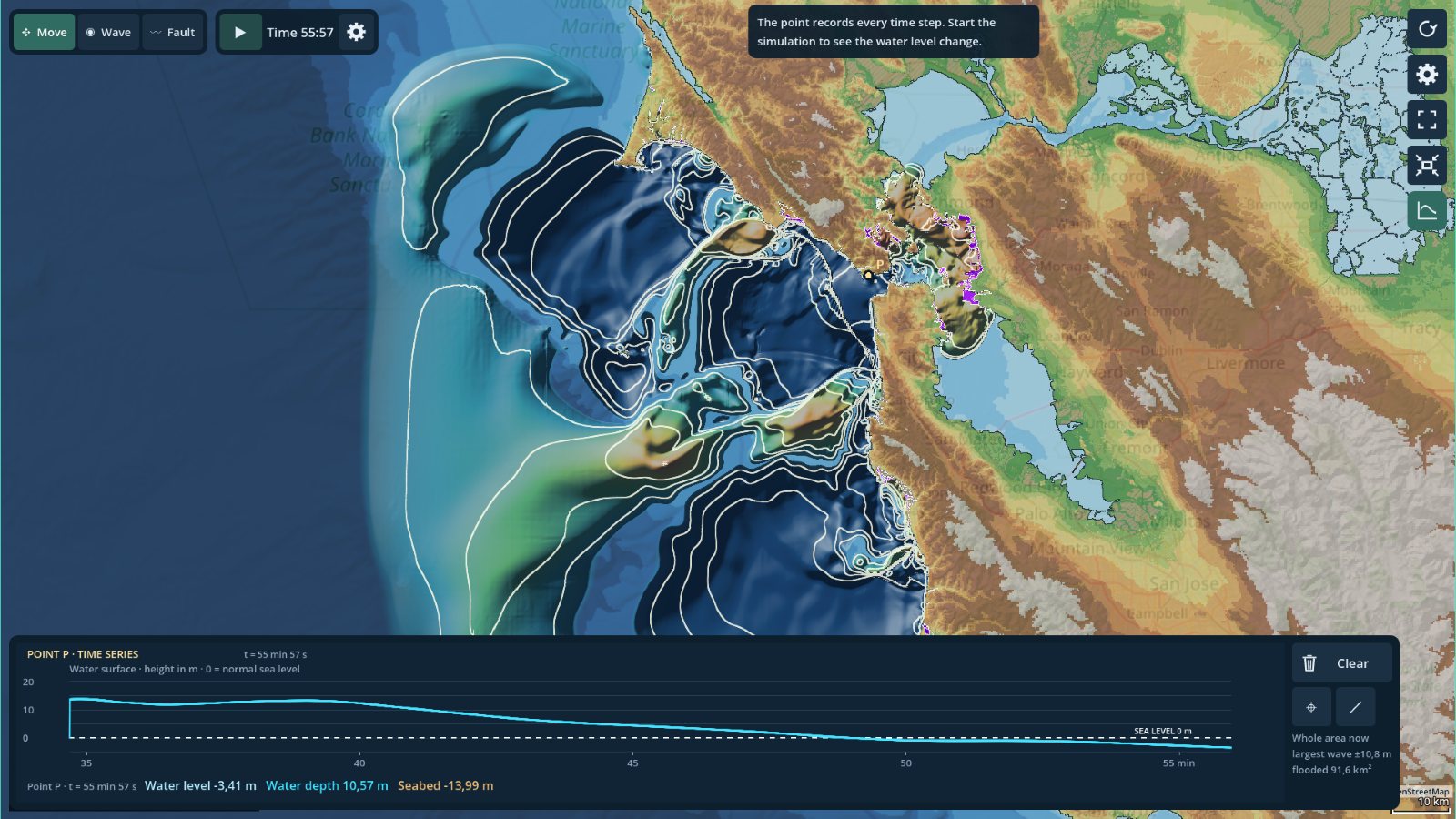
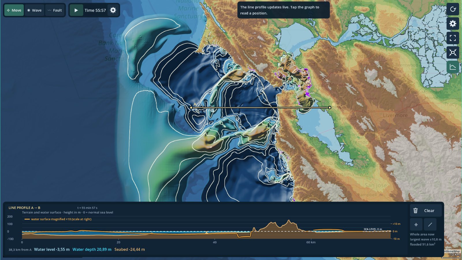
Place a point to follow the water level and depth over time, or draw a line across the coast to see a live profile of the terrain and the water above it. Touch or hover over the graphs to read exact values.
Replay historical events
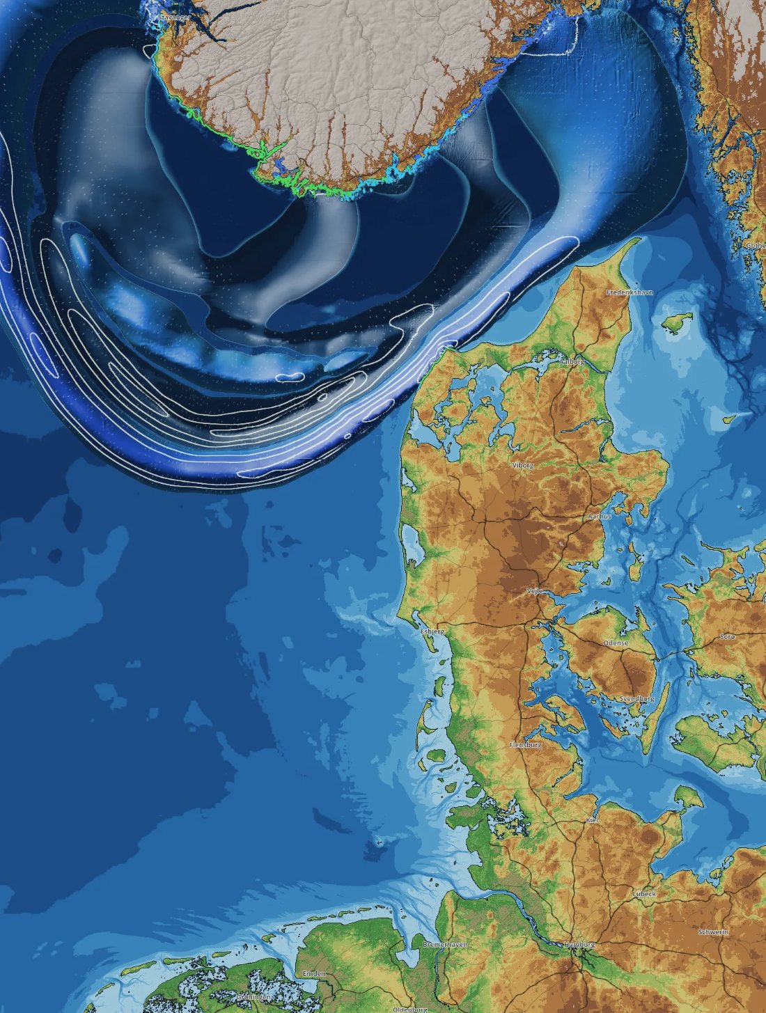
Start from ready-made events: the 2004 Sumatra-Andaman tsunami in the Indian Ocean, the Storegga landslide tsunami off Norway around 6200 BCE, and the Zanclean megaflood that refilled the Mediterranean 5.33 million years ago.
Control time
Pause, reset the waves, or speed time up from real time to many hours per second. If your device cannot keep up, the simulation slows down rather than skipping steps, and shows the speed it actually reaches.
Save and replay
Save a simulation with its area, settings and every wave and fault, and replay it later exactly as it ran.
How it works
Tsunami in a Box solves the nonlinear shallow water equations with a finite volume method that handles wetting and drying, so water can move onto dry land and back without losing mass. The grid follows the curvature of the map projection, and the time step adapts to keep the simulation stable.
It is an interactive sandbox for exploring how tsunamis behave, not a forecast. The physics is simplified to run in real time, and details smaller than the elevation grid, such as narrow dikes and small islands, can disappear.
- ReleaseComing soon
- ProAn optional upgrade adds fault lines, sea level changes, the finest grid, saved runs and two of the three scenarios.
- DataMap and elevation data come from Greenleaf's own server when you load an area, and are cached on the device. Sources: GEBCO, EMODnet Bathymetry, Copernicus DEM and OpenStreetMap.
- PrivacyNo ads, no account. Privacy policy